3D Terrain
3D terrain changes how the map surface is rendered by introducing elevation data into the scene. When 3D terrain is enabled, Icon Map Slicer uses a digital elevation model (DEM)—a dataset of height values for the Earth’s surface—to deform the otherwise flat map into a realistic, textured landscape. This lets the map show hills, valleys, and mountains in their correct shapes and relative heights, rather than as 2D contour lines or shaded relief. Used in conjunction with hill shading, it can be used to great effect.
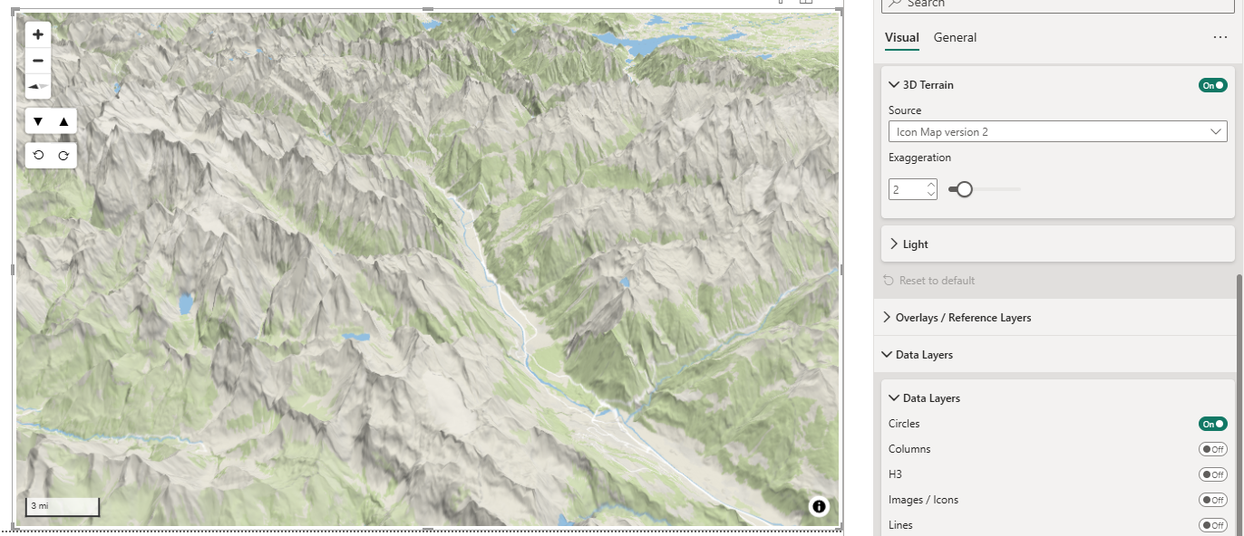
As with the hill shading, 2 height elevation models are provided and you have the ability to specify your own.