Customization
Icon Map Slicer provides a number of customization options for displaying the background layers:
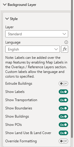
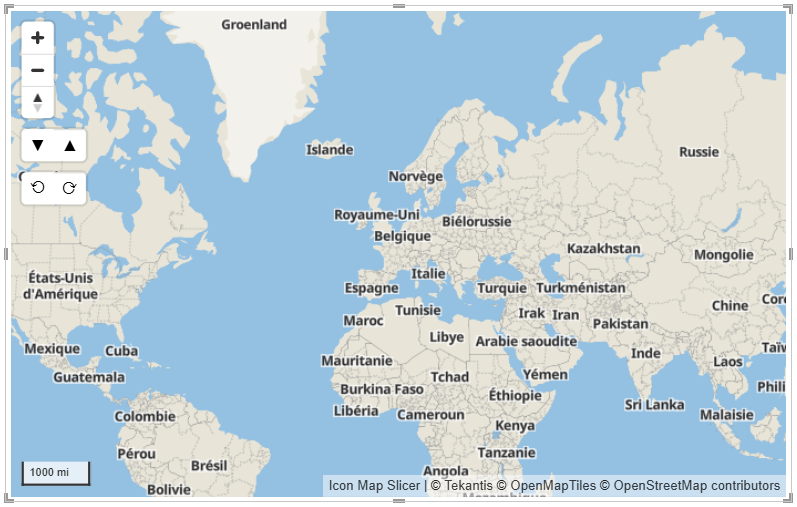
Layer
Provides the ability to select one of the provided styles.
Language
Where multiple language variants have been provided in the underlying OpenStreetMap data, Icon Map Slicer can display these options based on the language option selected here.
Extrude Buildings
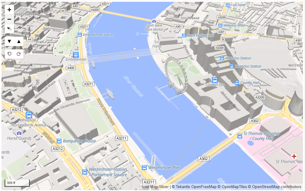
Some buildings have height information included. Turning on Extrude Buildings will show these buildings in 3D mode.
Show Labels
Shows or hides all the label text on the background map, including place names and street names.
Show Transportation
Shows or hides roads and railways on the background map.
Show Boundaries
Shows or hides the regional, national and international boundaries.
Show Buildings
Shows or hides buildings.
Show POIs
Shows or hides points of interests and their respective labels.
Show Land Use and Land Cover
Shows or hides the land use and cover layers within the background map.
Override Formatting
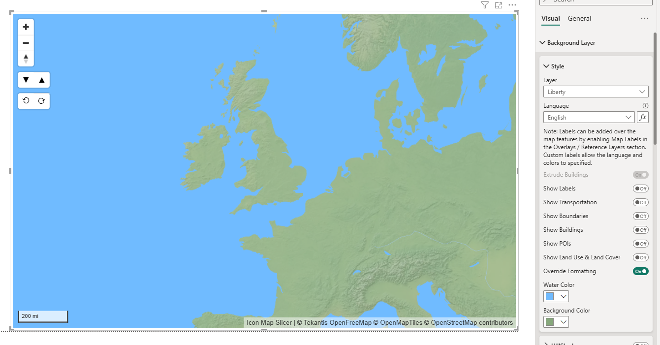
This option enables you to set specific colors for the water and background.