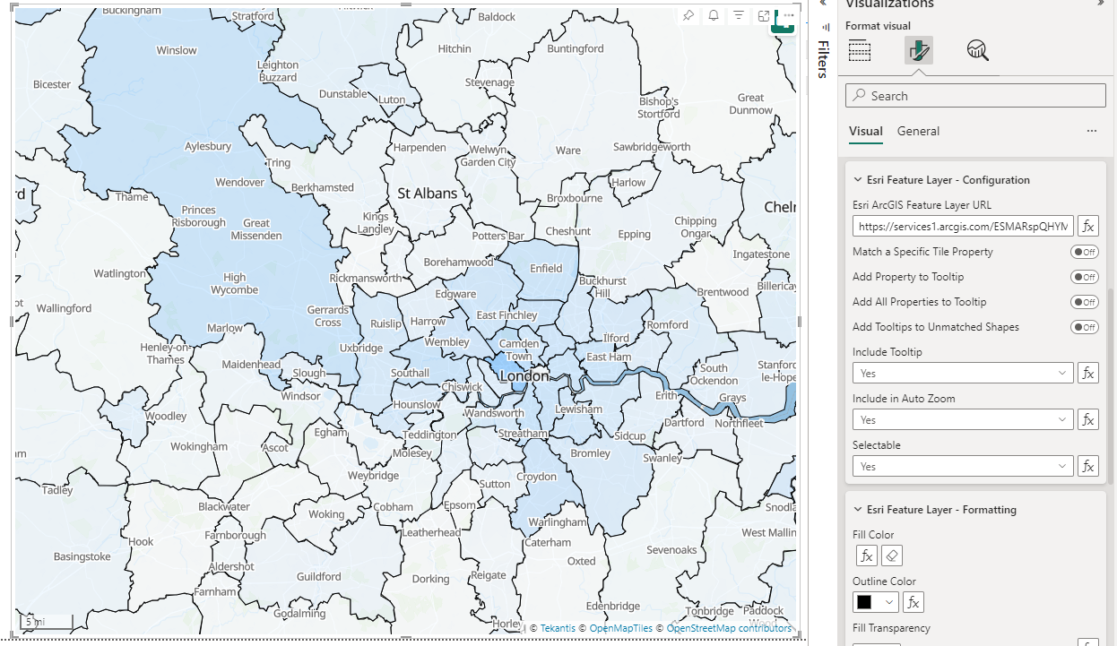
Data-Bound Feature Layers
In addition to five ArcGIS reference layers, it is also possible to add up to five data-bound ArcGIS feature layers, either to display one at a time using Power BI's drill-down functionality or to display all at the same time (from version 1.0.5.1).
 Source: Office for National Statistics licensed under the Open Government Licence v.3.0, Contains OS data © Crown copyright and database right 2024
This example being from the Office for National Statistics in the UK using the following URL https://services1.arcgis.com/ESMARspQHYMw9BZ9/arcgis/rest/services/Local_Authority_Districts_May_2024_Boundaries_UK_BGC/FeatureServer/0
Features Matched to Power BI Dataset
Each feature within the ArcGIS layer is matched to data within your Power BI dataset. This enables a wide range of capabilities:
Conditional formatting
Features can be formatting using standard Power BI conditional formatting to create for example choropleth maps, where the fill is a color gradient based on a data field in your Power BI dataset, that isn't included in your ESRI feature layer. For example this may be the number of sales within a particular territory, or the number of customers within a particular post code area.
Features that are matched to data in your Power BI dataset are formatted independently of those that aren't matched. The fill color, outline color, fill transparency, outline transparency, outline dash pattern, outline width are all configurable within Power BI, and for matched shapes, with Power BI's conditional formatting.
Cross-highlighting and filtering
The features on the map can be filtered based on slicers or filters in your report, or cross-highlighted or cross-filtered by clicking on other visuals on your Power BI report page. Equally clicking on a feature on the map can filter or highlight items on other visuals.
Tooltips
Native Power BI tooltips are supported to expose values for any of the fields in your Power BI dataset. It is also possible to expose the feature's own properties from ArcGIS in Power BI native tooltips. And for more advanced tooltips, for example with other charts included, Power BI report page tooltips are also supported.