Reference Labels
Reference labels expose one of the feature properties and displays it as text on the map. This is currently only available for Shapefiles / KML files and GeoJSON files, but will be extended to ArcGIS feature layers in future.
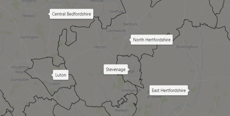
This Reference Labels configuration options will not be displayed unless Show Labels is turned on in the appropriate overlay/reference layer.
Font and Size
The font and size of the text in the label
Text Color
The color of the label text
Border Color
The color of the border and arrow symbol
Border Width
Width of the border in pixels
Border Radius
The border radius - increase this number to increase the curve of the corners
Fill Color
The color of the label background
Transparency
The transparency of the whole label
Margins
Increase or decrease the whitespace around the text
Permanent Zoom Level
The zoom level at which the labels permanently show on the map. When zoomed out below this level, the labels will show as a tooltip. Set to 0 to always show the labels. Set to 25 to always show as a tooltip.
Z-Index
The order reference labels are show related to other objects. The higher the number, the nearer the foreground the labels will be.