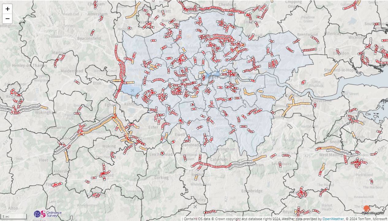
30 Days of Maps Day 17 - Collaborative Map
Sunday's challenge is day 17 of the #30DayMapChallenge and today's theme is Collaborative Map - Collaborate with others on a single map. For today’s challenge, team up! Whether you work with one person or several, the idea is to combine your efforts on a single map.
Sadly there hasn't been time to work on a map with someone else this week - there's just too much going on! However, I thought I would add a twist to the challenge instead, and show how lots of different providers can play together in Icon Map Pro.
This map has multiple providers contributing to the final map:
- Background maps from Ordnance Survey
- Hill shading overlaid from MapTiler
- Local Authority Choropleth map using Mapbox hosted vector tiles
- Lower Super Output Area boundary overlays via an ArcGIS feature layer hosted by the Office for National Statistics
- Traffic provided by Azure Maps
- Weather provided OpenWeatherMap
Clearly this isn't what you would build for a production map, but it's a good example of the different integrations that Icon Map Pro offers out of the box. Another one I couldn't quite squeeze in was Google Maps!

I can't provide the download link for today's challenge as it is dependant on too many external API keys that can't be shared.
