Icon Map
When you purchase the Icon Map Pro visual, this includes the following background maps hosted by Tekantis without the need to purchase mapping from third party providers.
Map Styles
OpenFreeMap / Tekantis / OpenMapTiles
These maps are based on OpenStreetMap data, prepared by Tekantis or OpenFreeMap and are periodically updated with the latest data. The following styles are based on OpenMapTiles styling.
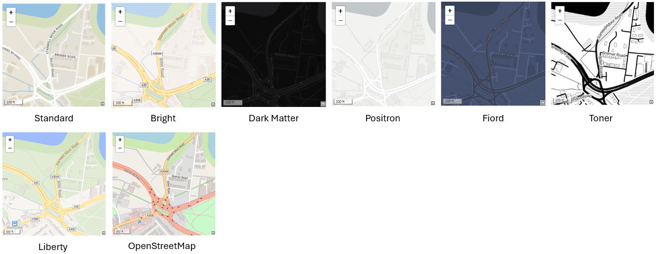
In addition to the default appearance, these styles can be customized to remove the labels and transportation layers. The background and water colors can be customized. Hill shading can be applied.
Protomaps
The following styles are based on Protomaps and built on OpenStreetMap data:
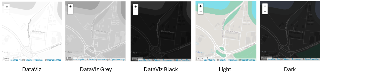
These styles support additional customization. The labels and transportation layers can be removed. The background and water colors can be customized. Hill shading can be applied and the buildings can be extruded to appear 3D.
In addition the language of the map labels can be selected (where available).
Ordnance Survey
Ordnance Survey mapping covers Great Britain. Icon Map Pro provides the following styles based on OS Open Zoomstack and made available under the Open Government Licence:
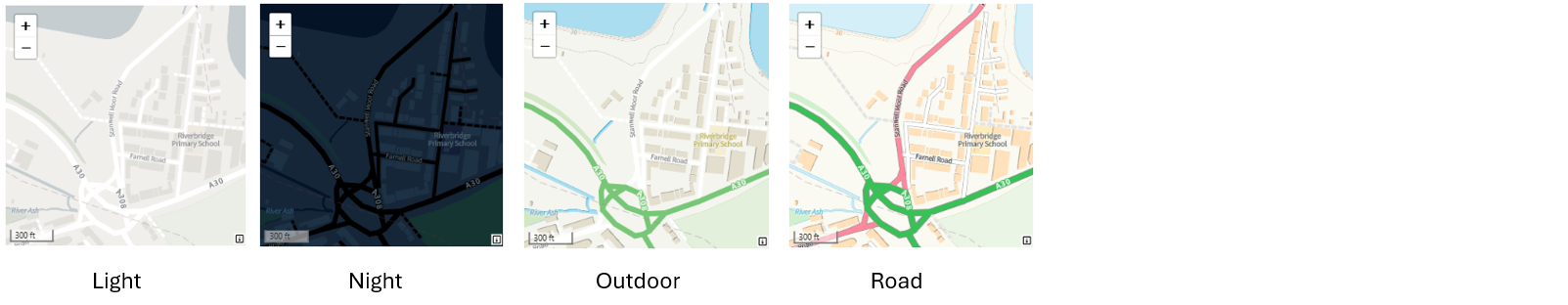
Ordnance Survey premium services are also available with an API key.
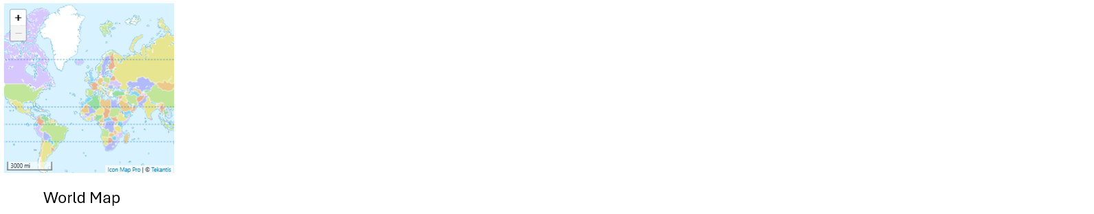
World Map
The world map provides a country level outline view of the world. It is based on the MapLibre World demo map.